|
Park in the Burroughs parking area at
the corner of Lyonsdale and Lowdale Road. Proceed on foot
across the bridges. The second bridge over the right channel
is closed to vehicular traffic, but it is our understanding
that pedestrian crossing is still possible. Once you get
across the second bridge, walk about 400 yards and you will come
to an area that is somewhat cleared on the right. We will
call this the trailhead. Walk into this area keeping the
trees on your right. The first part is good, but when you
reach the point where you get into the trees, it turns into a
variety of game type trails and is fairly steep in areas with a
lot of rocks to climb over. This is not for your average
hiker.
If it isn't possible to walk across the bridges, the
trailhead can be reached by car but it is a bit of a drive.
From the corner of the Lyonsdale and Lowdale Roads, continue
down the Lyonsdale Road. This shortly becomes the Marmon
Road. At this point, turn left onto the Hunkins Road.
This will end at the Fowlersville Road where you turn left.
After crossing the river, the first intersection is the Fowler
Road. Turn left here and this will end at the Lowdale
Road. You are now on the portion of this road across the
river from the Burroughs parking area. The trailhead
is about 0.6 mile from this corner.
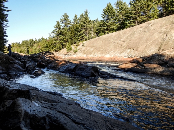
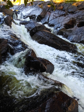
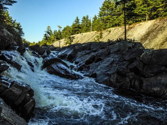
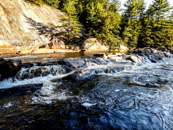
This section of rapids got its name from the whitewater community
due to the rock formation on the southern side of the river.
Its appearance is that of a large knife blade.
Some information we have indicates that this area might also
be known as Sliding Rock, although a contact we have within the
whitewater community had never heard of this.
Our thanks to Stacy Brown for the pictures and access
information.
The Moose River flows into the Black River just a few miles downstream
from this location in Lyons Falls. The Black empties into
Lake Ontario in the Jefferson County community of Dexter.
Last update: September 7, 2016
|