| Directions
From I-87, exit 8, proceed west on Crescent Road.
This will merge onto Vischer Ferry Road. As you continue,
this will become Riverview Road. In 1.3 miles from
the intersection in Vischer Ferry, you will come to the
entrance to the Vischer Ferry Power Plant. This will
be on your left across from the end of the Sugar Hill Road.
There is a parking area at the end of this road.
|
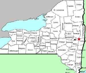
| County: |
Saratoga/Schenectady |
| Town: |
Clifton Park/Niskayuna |
| USGS Map: |
Niskayuna |
| Waterway: |
Mohawk River |
| Latitude: |
N 42° 48' 17" |
| Longitude: |
W 73° 50' 44" |
| Drop: |
NA |
| Type: |
Dam/slide falls |
| Region: |
East of the city of Schenectady |
| Parking: |
Paved lot |
| Trail type: |
Dirt |
| Length of hike: |
Varies |
| Difficulty: |
Easy |
| Accessibility: |
Public |
| Name: |
Common |
|
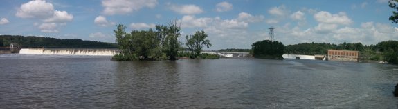
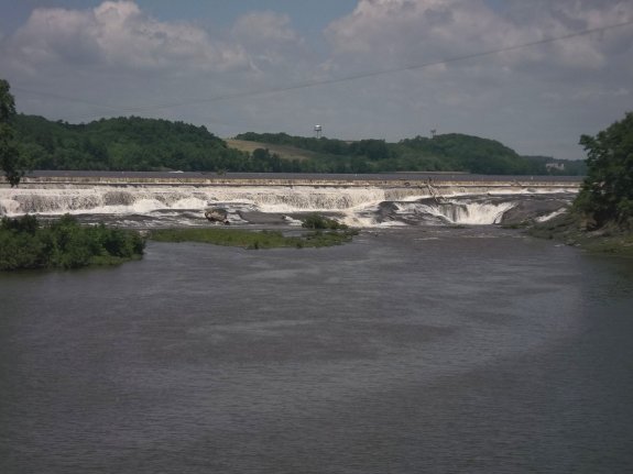
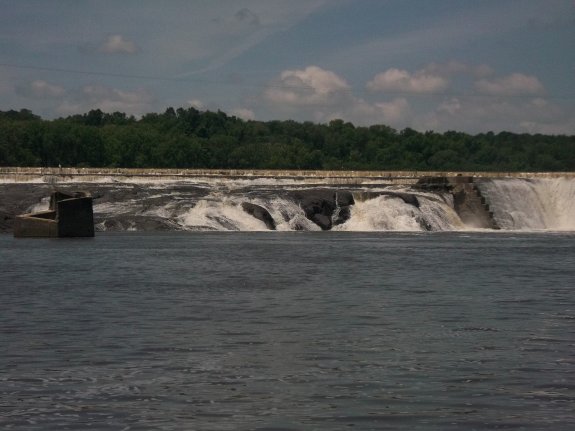
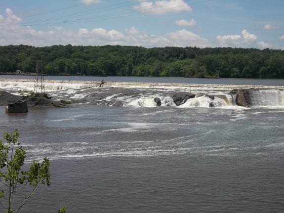
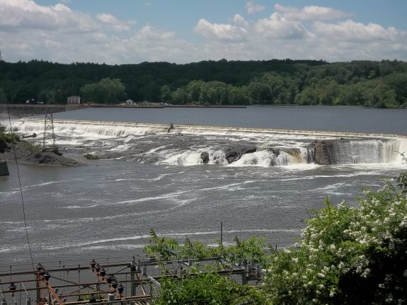
This is, and has been for some time, a hydro-electric facility,
but there is still a waterfall at the base of some of the dam.
From the overlook by the parking area you can get distant views
of the dam and falls. There is also a path that leads downhill
to another area of the site. Although still distant, better
views can be had from there.
It is our understanding that this is also referred to as Goat
Island Falls.
The Mohawk River flows into the Hudson River which empties into
the Atlantic Ocean in New York City.
Last update: November 23, 2015
|