| Directions
From the village of Canton, proceed on Park Street past
the St. Lawrence University campus. This becomes CR
25. At the first stop sign, take a right on CR 27.
The first paved intersection is just past a car dealership.
This is CR 1 where you should take a right. Very soon
after the road takes a sharp turn to the left, you should
take a right on to CR 21. Take the first left on this
road and you will soon see the dam on your left.
|
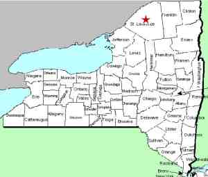
| County: |
St. Lawrence |
| Town: |
Canton |
| USGS Map: |
Canton |
| Waterway: |
Grass River |
| Latitude: |
N 44o 31' 11" |
| Longitude: |
W 75o 11' 18" |
| Drop: |
15' |
| Type: |
Ribbon cascade |
| Region: |
Off county roads south of the
village of Canton |
| Parking: |
Roadside |
| Trail type: |
NA |
| Length of hike: |
NA |
| Difficulty: |
Easy |
| Accessibility: |
Private |
| Name: |
Common |
|
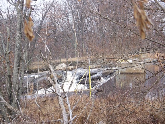
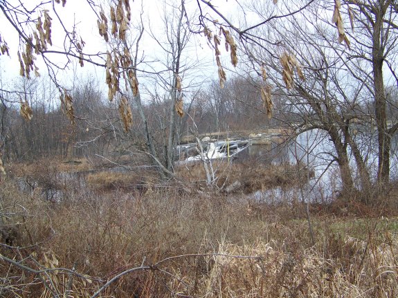
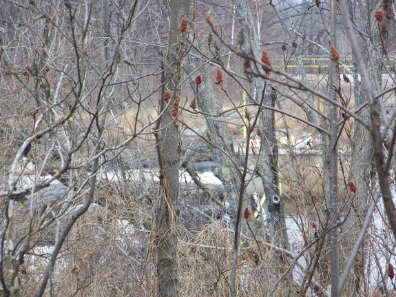
There has been a dam at this location for many years. It
is now run by the National Grid Power Company. Your views
of this area are fairly obscured because of the foliage, but there
is a waterfall directly below this dam.
Our pictures were taken from the roadside. You can't get
any closer because all of the property in this area is private and
much of it is posted.
This is a somewhat interesting location. Usually at a dam
site, the water level behind the dam is much higher than it was
before the dam was built and the water coming over the dam hits
the top of the waterfall, if one still exists there, and then plunges
over it. At this dam, however, the waterfall is actually formed
over the rocks on one side of the channel. Water is sliding
down the top of this descent and then finds its way through a slot
directing it through a sharp left and down the bank. It fans
out as it plunges and the base is about four times as wide as the
crest.
If the dam weren't there, the water level would undoubtedly be
lower than the base of this waterfall. Without the dam, this
may have just been a cliff on the bank of the river. Please
note that this is simply a theory based on the pictures and our
observations at the scene. If we could get closer for a better
look, perhaps the story would be different.
The Grass River flows into the St. Lawrence River in Massena,
in St. Lawrence County.
Note: Depending upon which map or sign you are using, this
river is referred to as either Grasse or Grass. Officially
it is Grass.
Last update: September 21, 2015
|