| Directions
There is only one main intersection on US 11 in the hamlet
of De Kalb Junction. CR 17 exits to the southeast
and leads to the hamlet of Hermon. As you enter the
hamlet, the first left is Jefferson Street. Just in
from this corner is a bridge. The top of the falls
is in view from here.
|
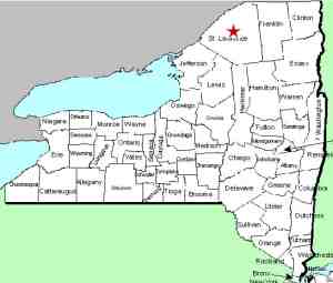
| County: |
St. Lawrence |
| Town: |
Hermon |
| USGS Map: |
Hermon |
| Waterway: |
Elm Creek |
| Latitude: |
N 44o 28' 13" |
| Longitude: |
W 75o 14' 1" |
| Drop: |
15' |
| Type: |
Traditional cascade |
| Region: |
off US 11 between Canton and
Gouverneur |
| Parking: |
Roadside |
| Trail type: |
NA |
| Length of hike: |
NA |
| Difficulty: |
Easy |
| Accessibility: |
Private |
| Name: |
Unnamed |
|
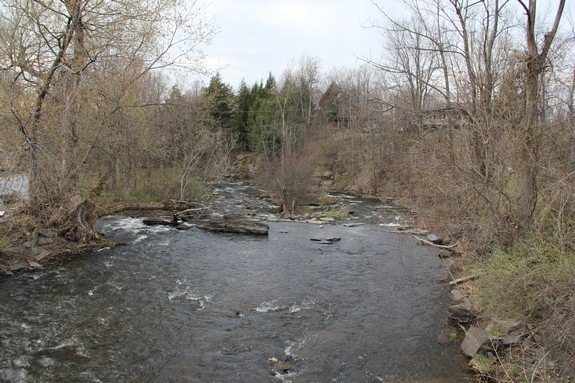
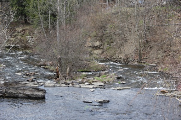
This a nice little fifteen foot plunge within sight of the road.
Unfortunately, your view is over the crest and it isn't that impressive.
The property surrounding this waterfall is all private and posted
so you don't have land access.
There may be an alternative.
Hermon Lower Falls is only a
couple of hundred yards downstream from this location. From
its access, it may be possible to wade up the creek to see a downstream
view of this waterfall. This theory has not yet been tested.
The Elm Creek flows into the Harrison Creek in the town of Canton.
This flows into the Grasse River which flows into the St. Lawrence
River in Massena.
Last update: August 15, 2015
|