| Directions
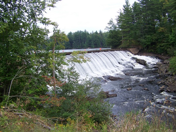
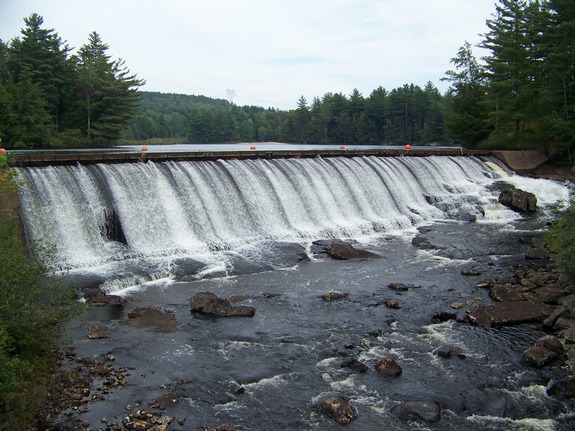
Just north of the hamlet of Croghan, the Belfort Road
exits NY812. Just before you cross the Beaver River
as you enter the hamlet of Belfort, the dam will be on the
right and the falls on the left.
|
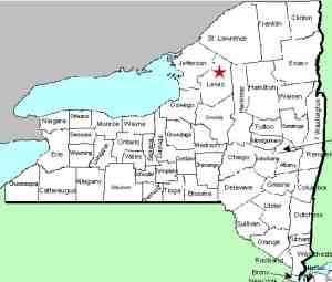
| County: |
Lewis |
| Town: |
Croghan |
| USGS Map: |
Belfort |
| Waterway: |
Beaver River |
| Latitude: |
N 43° 55' 35" |
| Longitude: |
W 75° 19' 55" |
| Drop: |
~ 25' |
| Type: |
Rapids |
| Region: |
East of Croghan |
| Parking: |
Roadside |
| Trail type: |
Dirt |
| Length of hike: |
1 minute |
| Difficulty: |
Easy |
| Accessibility: |
Public |
| Name: |
Common |
|
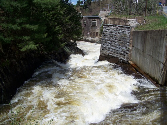
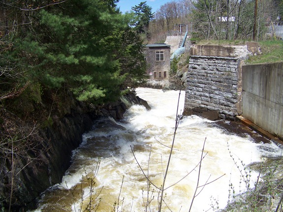
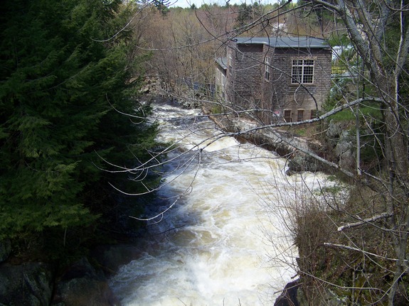
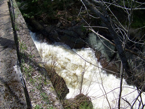
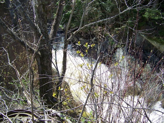
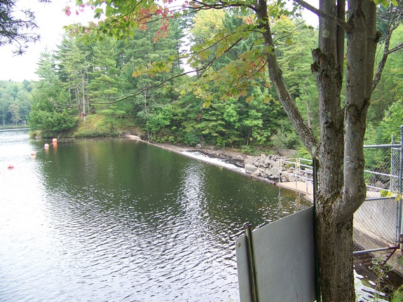
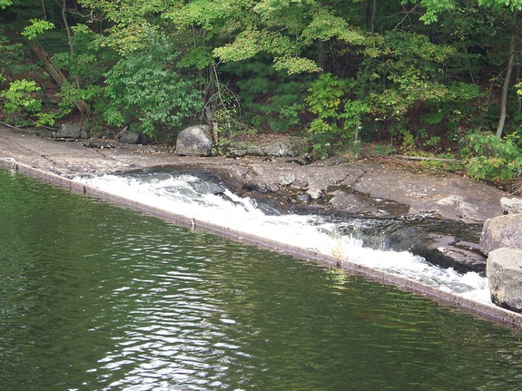
once a series of rapids and small waterfalls flowing
downstream from the Belfort Pond area on the Beaver River, Belfort
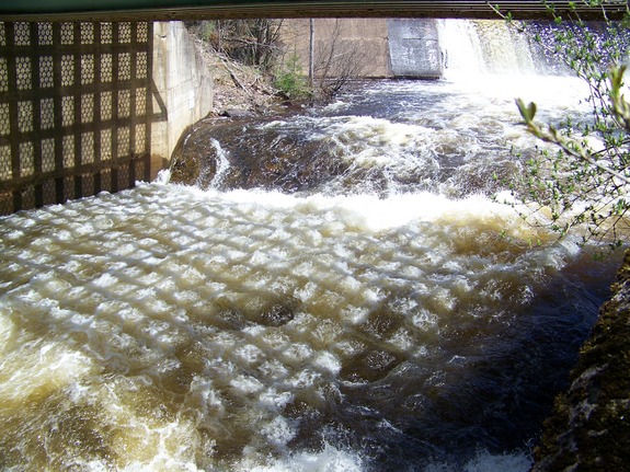
has been the site of a power dam for many years. Just downstream
of the dam there is a small waterfall just under and below the bridge.
The water makes a small drop just under the bridge and then plunges
into a small gorge. This was the route and site of the original
falls there.
The Beaver River flows into the Black River, which empties into
Lake ontario at the Black River Bay, just southwest of the village
of Dexter.
Last update: July 28, 2015
|