| Directions
From the junction of NY29 and US4 in Schuylerville, drive
east on NY29. In a little over 3 miles, you will come
to a bridge over the Batten Kill. Park on the side
of the road.
|
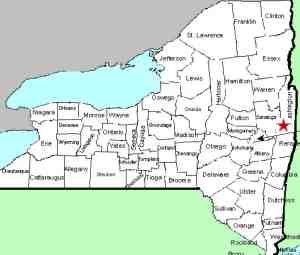
| County: |
Washington |
| Town: |
Easton/Greenwich |
| USGS Map: |
Schuylerville |
| Waterway: |
Batten Kill |
| Latitude: |
N 43o 5' 57" |
| Longitude: |
W 73o 31' 29" |
| Drop: |
15' |
| Type: |
Curtain cascade |
| Region: |
East of Schuylerville |
| Parking: |
Roadside |
| Trail type: |
Road |
| Length of hike: |
1 minute |
| Difficulty: |
Easy |
| Accessibility: |
Public |
| Name: |
Common |
|
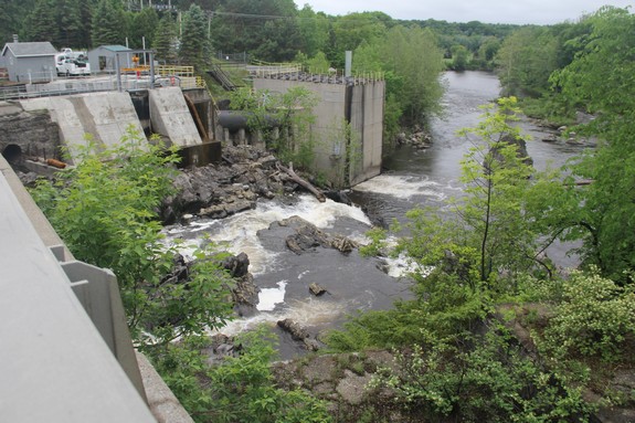
Maps indicate that this community is
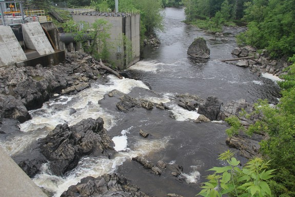
known as Middle Falls. There is a hydro dam at this location,
but there is still a small waterfall at the base.
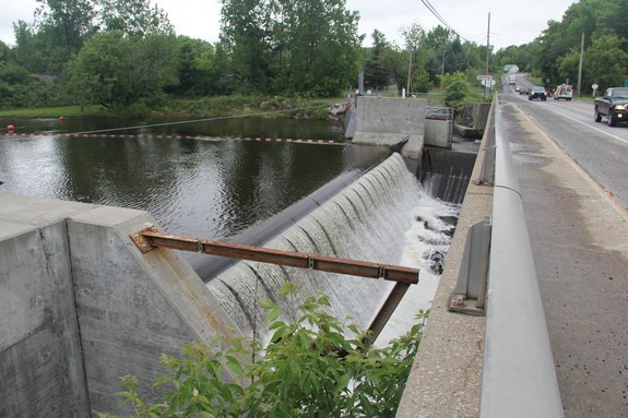
As our pictures show, there is a retaining dam just upstream
of the bridge. From there, the creek slides under the bridge
and shortly downstream, the water plunges. It is difficult
to gauge from above, but it looks to drop about 15'. We don't
know if there is an access from downstream. It would stand
to reason that there is. The power plant borders one side
of the creek here and there is private property on the other.
The Batten Kill flows into the Hudson River just downstream of
this location. The Hudson empties into the Atlantic ocean
in New York City.
Last update: July 28, 2015
|