| Directions
On NY 12 in Alder Creek, proceed northeast on NY 28.
Just before crossing the Forestport Reservoir, take a left
on the River Road. A short distance in on this road,
take another left on the Dutch Hill Road. Continue around this curve until you come to the Canal Road, a dirt
road on the right. Park at the corner.
|
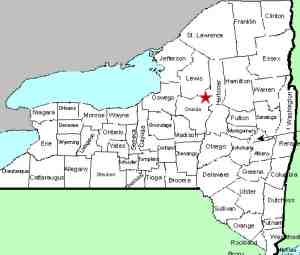
| County: |
Oneida |
| Town: |
Forestport |
| USGS Map: |
Forestport |
| Waterway: |
Black River |
| Latitude: |
N 43° 26' 23" |
| Longitude: |
W 75° 12' 40" |
| Drop: |
NA |
| Type: |
Ribbon Slide |
| Region: |
East of Alder Creek |
| Parking: |
Roadside |
| Trail type: |
Dirt |
| Length of hike: |
100' |
| Difficulty: |
Easy |
| Accessibility: |
Public |
| Name: |
Unnamed |

|
We found this spot quite by accident.
As were were looking for a view of the Forestport Dam Falls, we
came to this point to turn around and found this unique waterfall.
We're not sure if this is a naturally occurring site or man-made,
but quite a bit of water was coming through here when we saw it
in April 2013.
The Alder Pond is only a few hundred feet from the Black River.
Topographical maps show an outlet to the Forestport Reservoir but
this outlet, which enters the Black River below the dam, is not
indicated. This could be a relief valve of sorts, to help
maintain the level of the reservoir during high water. Although
not named, we have dubbed it this due to its location.
The Alder Pond outlet enters the Black River not far from here.
The Black empties into Lake ontario in the village of Dexter in
Jefferson County.
Last update: July 27, 2015
|


